Spatial Information Management
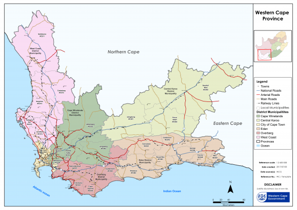
Spatial Information Management takes specific government data and translates it into a tangible visual representation, using Geographic Information Systems technology. The Spatial Information Management team forms an integral part of our organisation and provides vital information and key support across all the directorates from Development Planning, Biodiversity, Coastal Management and more.
OUR SERVICES:
- Effectively managing a Geographic Information System (GIS), and rendering a GIS service to the Department;
- Spatial data provision (Departmental);
- GIS awareness campaigns (internal);
- GIS websites (interactive map viewers).
The Environmental and Development Planning Atlas and the Coastal Management Viewer display spatial data used within the Department to assist with land use and environmental decision-making. They have several interactive web tools, with spatial datasets covering the Western Cape Province, unless otherwise specified, and broadly follow the themes of the Provincial Spatial Development Framework (PSDF)
For GIS enquires contact gis.deadp@westerncape.gov.za
Click here to access the live version of the map below.

